Project
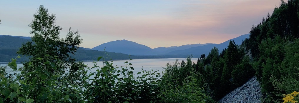
Comparison of techniques for measuring forest carbon in British Columbia
Themes
Climate change, First Nations, GIS, remote sensing, carbon accounting, bioregional mapping, carbon credits
Interests
Currently, no single modeling technique for measuring forest carbon exists. Rather a variety of methods and techniques are available, ranging from site-specific data collection, to broad regional and national carbon estimates. The single best way to measure forest carbon stocks requires removing all above and below ground vegetation and debris, sifting through soils and oven-drying and weighing all material. This provides a dry biomass weight which can then be converted into carbon. However this technique is highly destructive and time-consuming, therefore necessitating the need for the use of less invasive techniques for measuring forest carbon. These techniques typically rely on the use of surrogate data, collected from a range of sources, which can be used for estimating biomass. Therefore to assist in exploring this question, the first phase of my research will analyze modeling techniques for measuring forest carbon, and recommend one which best fits the requirements of this project. Each technique will be evaluated based on a number of criteria, including usability, data requirements, complexity and accuracy. The analysis will be captured in a matrix that considers a range of technical and cultural assessment factors.
Professional Experience
| January 2006 to Present | GIS & Technology Coordinator – Tsleil-Waututh Nation, North Vancouver, B.C. Provide GIS and IT support for a wide variety of projects, coordinate the operation of the GIS office, maintain the network and computer systems, collect and verify data, and provide guidance and mentor community members. |
| April 2004 to Present | GIS Analyst / Web Designer – Marine Matters, Haida Gwaii, B.C.Provide support for a variety of marine related projects, among those the creation of commercial shellfish and groundfish atlases for the islands. I also assist in the production of maps and posters for public consultation, create and integrate spatial data layers, and build and maintain the marinematters.org website. |
| June 2003 to April 2005 | GIS Technician – Timberline Forest Inventory Consulting Ltd, Victoria, B.C.Developed a model for archaeological potential, research, data set preparation and documentation. I was also the project manager for the BC Parks boundary mapping project. |
| October 2002 to May 2003 | GIS Analyst – Ecotrust Canada, Vancouver, B.C. (BCIT Practicum)Created an archaeological potential model for the Tsleil-Waututh Nation traditional territory. |
| May 2002 to September 2002 | GIS Technician – Land and Resource Analysis Corporation, Victoria, B.C.Involved in the preparation of a province-wide spatial dataset for the Ministry of Sustainable Resource Management. This process included the collection and overlaying of standard and non-standard spatial datasets using multiple software applications. |
| September 2001 to April 2002 | GIS Technician – Ministry of Forests, Victoria, B.C.Provided technical support for the development of a district level landscape unit biodiversity tool. Duties included the development of SQL queries, DEM grid processing and conversion, and writing user documentation. |
| January 2001 to August 2001 | GIS Technician – Habitat Branch – Ministry of Environment, Victoria, B.C. (UVic Co-op)Responsible for setting up and providing GIS support to the Branch on a variety of projects. This included assisting in the development and testing of an automated application for measuring biodiversity within landscape units, the creation of maps and overlays, and data and file management. |
| September 1999 to April 2000 | GIS/Mapping Assistant – Legal Surveys Division – Geomatics Canada, Yellowknife, N.W.T. (UVic Co-op)Duties included the conversion of Canada Lands Survey Plans into digital format, data conversion, managing of the Territorial Resource Base Map project, working on the Order in Council Community Layer, and the completion of a NWT index map. I was also involved in creating a Legal Surveys Division products brochure, quality control of the Survey Records Information System database, and in the preparation of information as required. |
| June 1999 to August 1999 | Field Assistant – BC Geological Survey Branch, Victoria, B.C. (UVic Co-op) Assisted the staff Geologist with geological fieldwork in Northeastern British Columbia and related office data compilation and mapping. |
| September 1998 to December 1998 | GIS Mapping Technician – Mineral Rights Division, Indian and Northern Affairs Canada, Whitehorse, YK. (UVic Co-op)Responsible for the maintenance and production of more than 650 mineral claim maps for the Mineral Rights Division. Duties included cleaning and digitizing maps for GIS input, data and file management and the scanning and printing of maps for public use. |
Academic Qualifications
M.Sc., Faculty of Forestry, University of British Columbia
2003: Advanced Diploma – Geographic Information Systems, British Columbia Institute of Technology
2002: B.Sc. Geography (Co-operative Education Program), University of Victoria.